Additional information
| Dimensions | N/A |
|---|---|
| Size |

Price range: £35.55 through £59.95
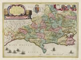
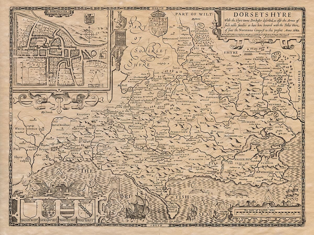
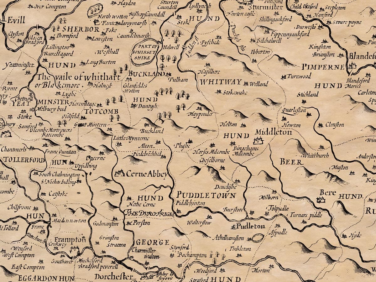
Dorset – another beautifully detailed edition
The Dorset coastline detailed on this old map features many splendid bays, coves and confirms the rich maritime history of the county. The French burnt Lyme Regis in 1525 and in 1588 the Spanish Armada sailed up the channel, where some of its straggling ships were engaged by the British fleet off Portland. Speed considered the air of Dorset as good and of a healthful constitution and was also impressed by the fertility of the entire county. An attractive town plan of Dorchester is featured within the map.
Available in two sizes: Large: 24″ x 31″ (61 x 78.7cms) Medium: 18″ x 24″ (45.5 x 61cms)
| Dimensions | N/A |
|---|---|
| Size |