Additional information
| Dimensions | N/A |
|---|---|
| Size |

£35.55 – £59.95
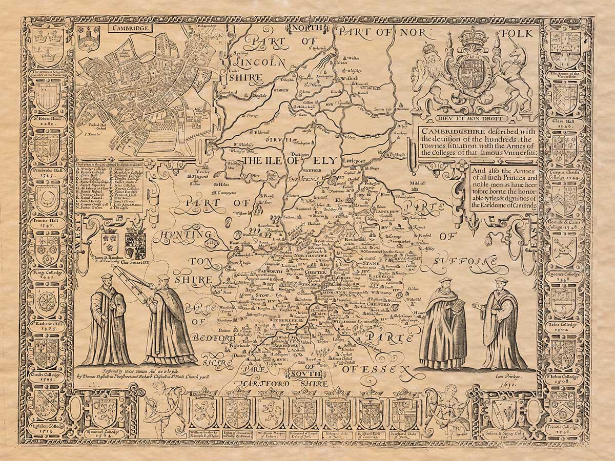
An Old Map of Huntingdonshire by John Speed
Huntingdonshire was notable for two features, the Great North Road and the Marsh land of the Fens to the East. Throughout the 16th and early 17th century, the Great North Road was in a constant state of disrepair. The problem of maintenance was left to the individual counties through which it ran. It wasn’t until 1663 that this problem was solved, when the first Turnpike act was past, allowing the counties to charge a toll for use of the road, generating revenue for the required refurbishments.
Available in two sizes: Large: 24″ x 31″ (78.7 x 61cms) Medium: 18″ x 24″ (45.5 x 61cms) Small: 19.5″ x 14″ (49.5 x 35.5cms)
| Dimensions | N/A |
|---|---|
| Size |